Recent Gallery


Tampilkan postingan dengan label Lakes. Tampilkan semua postingan

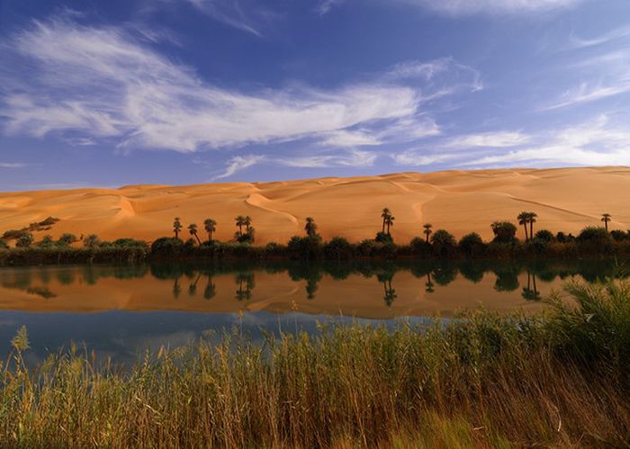
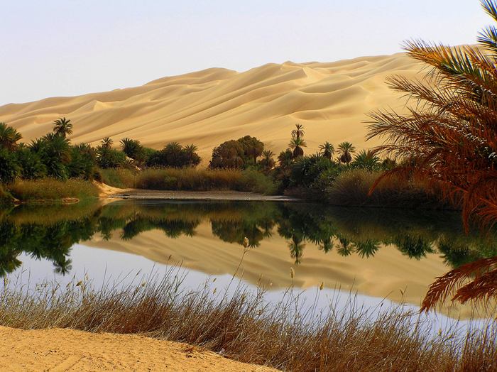
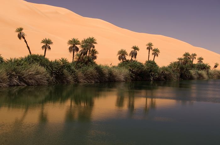
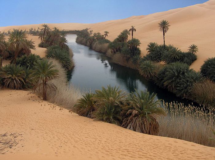
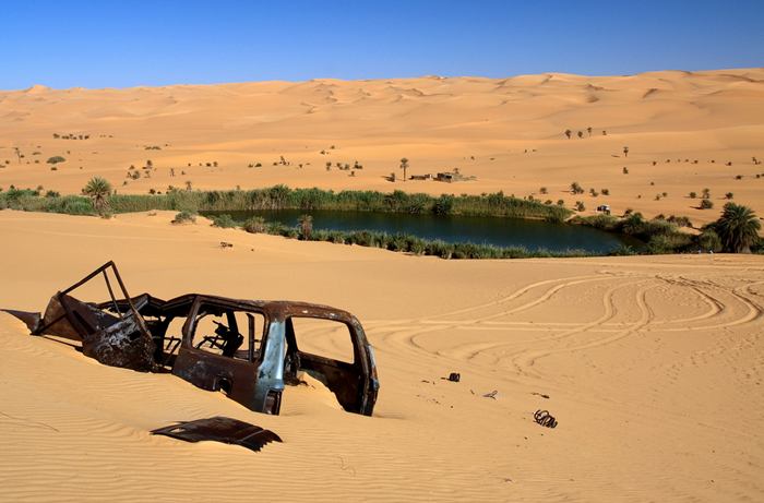
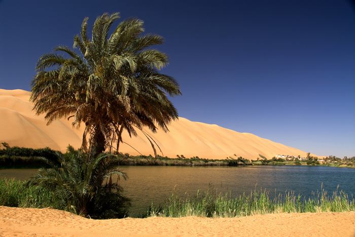
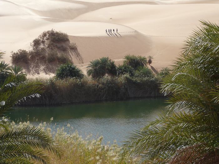
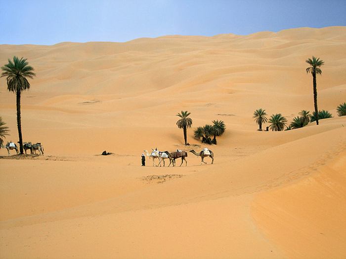
Ubari Lakes — Libya

Recent archaeological research revealed the existence of several fresh-water lakes, known as palaeolakes, in ancient Fezzan, Libya. Some of these lakes were located in the southern regions of Wadi Irawan, Wadi al-Ajal and the Ubari Sand Sea. The archaeological finds from the area include dark layers of organic matters, shells, hand axes and other Palaeolithic and Neolithic implements and tools which strongly suggested ancient human activity in Fezzan. These lakes were part of a larger network of lakes which have included the legendary nearby Lake Tritonis and Lake Chad among numerous other smaller lakes.

Precise dating of the lakes is yet to be confirmed, but current studies, conducted by the Fezzan Project, suggest Pleistocene and Holocene human presence. However, results from Wadi al-Ajal's playas (: which are mud flats with rough surface, cracks and salt encrustation, like the Playa of Germa which represent the lakes just before drying out) indicate these lakes to have disappeared around 3000 years ago.
Ubari lakes were located in the southern regions of Wadi Irawan, Wadi al-Ajal and the Ubari Sand Sea. The archaeological finds from the area include dark layers of organic matters, shells, hand axes and other Palaeolithic and Neolithic implements and tools which strongly suggested ancient human activity in Fezzan. These lakes were part of a larger network of lakes which have included the legendary nearby Lake Tritonis and Lake Chad among numerous other smaller lakes
Photo — Link 
Findings from the lakes also suggest that the impressive sand dunes of the Ubari Sand Sea are at least 100,000 years old. Numerous lakes were thought to have covered the eastern and southern regions of the sea, some of which still exist today, as in the case of Gaberoun (or Gabroun), Umm al-Maa and Maafu, where the land surface intercepts the water table. 

The main river systems that fed the giant lake: Tasilli N’Ajjer and Hamada Mangueni. The locations of the current Ubari lakes are situated near the middle of the above lake; probably left over as the mother-lake slowly evaporated away into thin air. 
Ubari lakes were located in the southern regions of Wadi Irawan, Wadi al-Ajal and the Ubari Sand Sea. The archaeological finds from the area include dark layers of organic matters, shells, hand axes and other Palaeolithic and Neolithic implements and tools which strongly suggested ancient human activity in Fezzan. These lakes were part of a larger network of lakes which have included the legendary nearby Lake Tritonis and Lake Chad among numerous other smaller lakes
Photo — Link

The current Ubari Lakes are a group of about 20 lakes, set amidst the landscape of towering dunes and palm fringed oases of the Ubari Sand Sea. To reach these lakes, tourists usually drive to Sabha, then from Sabha to Tkerkiba, where an excellent camping site is used as the base to explore the lakes as well as Wadi Matkhandouch. The depth of the lakes, according to one Libyan diving centre, varies from seven meters deep (as in Gabroun) to 32 meters deep (Ain al-Dibbanah, near Ghadames). Some of these lakes are slowly drying out, owing to drought and artificial drainage of underground resources!

Among the most picturesque of the lakes are Gaberoun and Umm al-Maa (the Mother of Water). Also there are two more beautiful lakes which are rarely visited by tourists. These are: Umm al-H'isan (the Mother of the Horse), also spelt as Oum El Hassan, located north of Gaberoun; and   at-Tarhouna, about 11km from Umm al-H'isan.

Ubari lakes were located in the southern regions of Wadi Irawan, Wadi al-Ajal and the Ubari Sand Sea. The archaeological finds from the area include dark layers of organic matters, shells, hand axes and other Palaeolithic and Neolithic implements and tools which strongly suggested ancient human activity in Fezzan. These lakes were part of a larger network of lakes which have included the legendary nearby Lake Tritonis and Lake Chad among numerous other smaller lakes
Photo — Link

Lake Gaberoun is one of the largest and most beautiful lakes of the great sand sea of Ubari; beautifully set amidst the magnificent sand dunes, with palm trees on one side and the ruins of the old village on the other. Most of the lakes of the Libyan interior are highly carbonated, enabling swimmers to easily float without exerting any effort. The content of salt is rather high: nearly five times saltier than seawater. Some of the lakes are home for a harmless tiny red shrimp-like creatures that thrive in the shallow waters of the lake, which the Tuareg grind into a paste and use for making cakes, and which have earned the local inhabitants the name of 'worm eaters' (Dawada or Dawwada), and hence the name: Dawada Lakes. 

Ubari lakes were located in the southern regions of Wadi Irawan, Wadi al-Ajal and the Ubari Sand Sea. The archaeological finds from the area include dark layers of organic matters, shells, hand axes and other Palaeolithic and Neolithic implements and tools which strongly suggested ancient human activity in Fezzan. These lakes were part of a larger network of lakes which have included the legendary nearby Lake Tritonis and Lake Chad among numerous other smaller lakes
Photo — Link

Distances between the lakes:

Tkerkiba - Hofret H'lima    — 10 km
Hofret H'lima - Mahrouga  —  10km
Mahrouga - Gaberoun       —  15 km
Gaberoun - Mafo              —  15 km
Mafo - Umm Almaa          —  about 18 km
Gaberoun - Umm Alh'isan —  30 km
Umm Alh'isan - Attrouna   —  11 km
Tkirkiba - Mandara           —  15 km
Tkirkiba - Umm Almaa      —  17 km
Tkirkiba - Mafo                 —  39km
Tkirkiba - Gaberoun          —  45 km

Ubari lakes were located in the southern regions of Wadi Irawan, Wadi al-Ajal and the Ubari Sand Sea. The archaeological finds from the area include dark layers of organic matters, shells, hand axes and other Palaeolithic and Neolithic implements and tools which strongly suggested ancient human activity in Fezzan. These lakes were part of a larger network of lakes which have included the legendary nearby Lake Tritonis and Lake Chad among numerous other smaller lakes
Photo — Link

The name Gaberoun is a compound of two names: Gaber (grave) and A'awn (a name). The oasis was the home of an old settlement which has been moved elsewhere. The ruins of their settlement are located on the western shore of the lake (see photo). The temperature of the water is, strangely enough, colder on the surface than it is a foot or two below, where it is noticeably warmer. A tourist camp is located on the northeastern shore of the lake, with a Tuareg shop, selling traditional Berber jewellery and other local crafts. 
Libya’s Landlocked Lakes: Wet Spots In A Sea Of Sand. Text Via — Link

Ubari lakes were located in the southern regions of Wadi Irawan, Wadi al-Ajal and the Ubari Sand Sea. The archaeological finds from the area include dark layers of organic matters, shells, hand axes and other Palaeolithic and Neolithic implements and tools which strongly suggested ancient human activity in Fezzan. These lakes were part of a larger network of lakes which have included the legendary nearby Lake Tritonis and Lake Chad among numerous other smaller lakes
Photo — Link

Ubari lakes were located in the southern regions of Wadi Irawan, Wadi al-Ajal and the Ubari Sand Sea. The archaeological finds from the area include dark layers of organic matters, shells, hand axes and other Palaeolithic and Neolithic implements and tools which strongly suggested ancient human activity in Fezzan. These lakes were part of a larger network of lakes which have included the legendary nearby Lake Tritonis and Lake Chad among numerous other smaller lakes
Photo — Link

Ubari lakes were located in the southern regions of Wadi Irawan, Wadi al-Ajal and the Ubari Sand Sea. The archaeological finds from the area include dark layers of organic matters, shells, hand axes and other Palaeolithic and Neolithic implements and tools which strongly suggested ancient human activity in Fezzan. These lakes were part of a larger network of lakes which have included the legendary nearby Lake Tritonis and Lake Chad among numerous other smaller lakes
Photo — Link

Ubari lakes were located in the southern regions of Wadi Irawan, Wadi al-Ajal and the Ubari Sand Sea. The archaeological finds from the area include dark layers of organic matters, shells, hand axes and other Palaeolithic and Neolithic implements and tools which strongly suggested ancient human activity in Fezzan. These lakes were part of a larger network of lakes which have included the legendary nearby Lake Tritonis and Lake Chad among numerous other smaller lakes
Photo — Link

Ubari lakes were located in the southern regions of Wadi Irawan, Wadi al-Ajal and the Ubari Sand Sea. The archaeological finds from the area include dark layers of organic matters, shells, hand axes and other Palaeolithic and Neolithic implements and tools which strongly suggested ancient human activity in Fezzan. These lakes were part of a larger network of lakes which have included the legendary nearby Lake Tritonis and Lake Chad among numerous other smaller lakes
Photo — Link

Top 10 World's Largest Lake

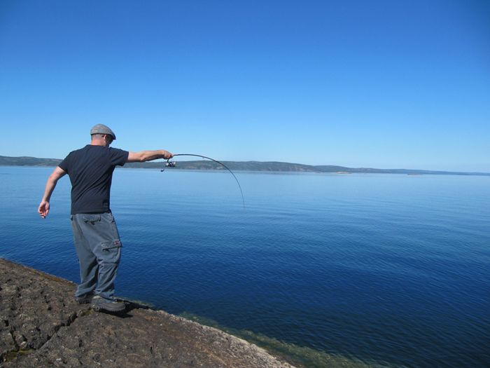
10. Great Slave Lake
Great Slave Lake is the second-largest lake in the Northwest Territories of Canada (after Great Bear Lake), the deepest lake in North America at 614 metres (336 fathoms; 2,010 ft), and the ninth-largest lake in the world. It is 480 km (300 mi) long and 19 to 109 km (12 to 68 mi) wide. It covers an area of 27,200 km2 (10,502 sq mi) in the southern part of the territory. Its given volume ranges from 1,070 km3 (260 cu mi) to 1,580 km3 (380 cu mi) and up to 2,088 km3 (501 cu mi) making it the 10th or 12th largest.
Photo — Link

Countries with shoreline — Canada
Area — 28,930 km2 (11,170 sq mi)
Length — 480 km (300 mi)
Maximum depth — 614 m (2,014 ft)
Water volume — 2,090 km3 (500 cu mi)
Great Slave Lake is the second-largest lake in the Northwest Territories of Canada (after Great Bear Lake), the deepest lake in North America at 614 metres (336 fathoms; 2,010 ft), and the ninth-largest lake in the world. It is 480 km (300 mi) long and 19 to 109 km (12 to 68 mi) wide. It covers an area of 27,200 km2 (10,502 sq mi) in the southern part of the territory. Its given volume ranges from 1,070 km3 (260 cu mi) to 1,580 km3 (380 cu mi) and up to 2,088 km3 (501 cu mi) making it the 10th or 12th largest.


The lake shares its name with the Slavey First Nations. Towns situated on the lake include: Yellowknife, Hay River, Behchoko, Fort Resolution, Lutselk'e, Hay River Reserve, Dettah and N'Dilo. The only community in the East Arm is Lutselk'e, a hamlet of about 350 people, largely Chipewyan Aboriginals of the Dene Nation and the now abandoned winter camp/Hudson's Bay Company post, Fort Reliance.

09. Lake Malawi
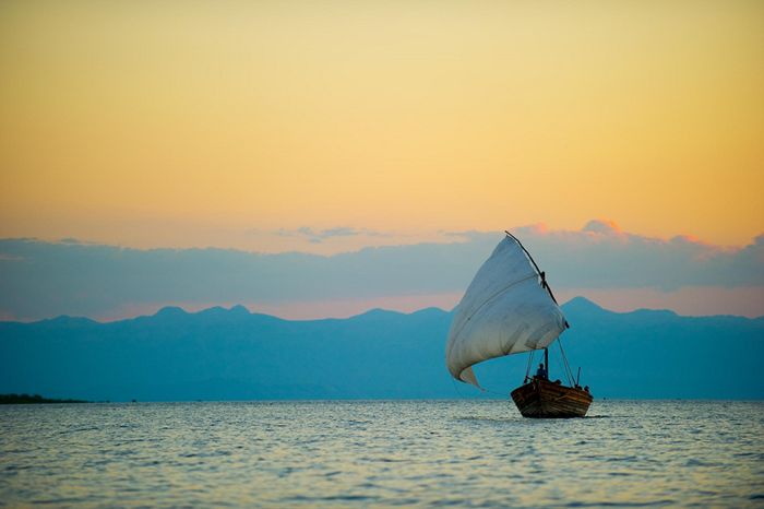
Lake Malawi (Lake Nyasa, or Lago Niassa in Mozambique), is an African Great Lake and the southernmost lake in the East African Rift system, located between Malawi, Mozambique and Tanzania. The third largest and second deepest lake in Africa, it is also the ninth largest in the world. It is reportedly the habitat of more species of fish than any other body of freshwater, including more than 1000 species of cichlids, and was officially declared a reserve by the Government of Mozambique on June 10, 2011.
Photo — Link

Countries with shoreline —  Tanzania, Mozambique, Malawi
Area — 30,044 km2 (11,600 sq mi)
Length — 579 km (360 mi)
Maximum depth — 706 m (2,316 ft)
Water volume — 8,400 km3 (2,000 cu mi)

Lake Malawi  is an African Great Lake and the southernmost lake in the East African Rift system, located between Malawi, Mozambique and Tanzania. The third largest and second deepest lake in Africa, it is also the ninth largest in the world. It is reportedly the habitat of more species of fish than any other body of freshwater, including more than 1000 species of cichlids, and was officially declared a reserve by the Government of Mozambique on June 10, 2011.


08. Great Bear Lake
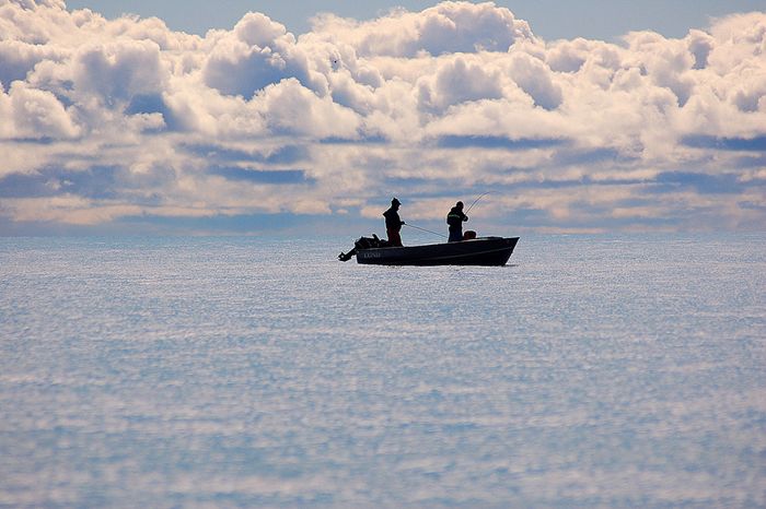
Great Bear Lake is the largest lake entirely within Canada (Lake Superior and Lake Huron straddling the Canada-US border are larger), the fourth largest in North America, and the eighth largest in the world. The lake is in the Northwest Territories and is situated on the Arctic Circle between 65 and 67 degrees of northern latitude and between 118 and 123 degrees western longitude, 186 m (610 ft) above sea level. The name is believed to have originated with the First Nations living along the northern shores of the lake, who referred to themselves by Chipewyan words meaning “grizzly bear water people.” Grizzly Bear Mountain on the shore of the Lake comes from the Chipewyan, meaning, literally “bear large hill.”
Photo — Link

Countries with shoreline — Canada
Area — 31,080 km2 (12,000 sq mi)
Length — 373 km (232 mi)
Maximum depth — 446 m (1,463 ft)
Water volume — 2,236 km3 (536 cu mi)

Great Bear Lake is the largest lake entirely within Canada (Lake Superior and Lake Huron straddling the Canada-US border are larger), the fourth largest in North America, and the eighth largest in the world. The lake is in the Northwest Territories and is situated on the Arctic Circle between 65 and 67 degrees of northern latitude and between 118 and 123 degrees western longitude, 186 m (610 ft) above sea level. The name is believed to have originated with the First Nations living along the northern shores of the lake, who referred to themselves by Chipewyan words meaning “grizzly bear water people.” Grizzly Bear Mountain on the shore of the Lake comes from the Chipewyan, meaning, literally “bear large hill.”


07. Lake Baikal
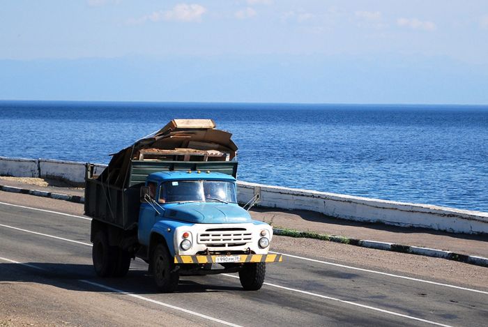
Lake Baikal is the most voluminous freshwater lake in the world, containing roughly 20% of the world's unfrozen surface fresh water, and at 1,642 m (5,387 ft), the deepest.It is also among the clearest of all lakes, and thought to be the world's oldest lake at 25 million years.
Photo — Link

Countries with shoreline — Russia
Area — 31,500 km2 (12,200 sq mi)
Length — 636 km (395 mi)
Maximum depth — 1,637 m (5,371 ft)
Water volume — 23,600 km3 (5,700 cu mi)

Lake Baikal is a rift lake in the south of the Russian region of Siberia, between the Irkutsk Oblast to the northwest and the Buryat Republic to the southeast.

Lake Baikal is the most voluminous freshwater lake in the world, containing roughly 20% of the world's unfrozen surface fresh water, and at 1,642 m (5,387 ft), the deepest.It is also among the clearest of all lakes, and thought to be the world's oldest lake at 25 million years.

Similar to Lake Tanganyika, Lake Baikal was formed as an ancient rift valley, having the typical long crescent shape with a surface area of 31,722 km2 (12,248 sq mi). Baikal is home to more than 1,700 species of plants and animals, two thirds of which can be found nowhere else in the world[10] and was declared a UNESCO World Heritage Site in 1996. It is also home to Buryat tribes who reside on the eastern side of Lake Baikal, rearing goats, camels, cattle and sheep, where the regional average temperatures vary from a minimum of -19 °C (-2 °F) in winter to maximum of 14 °C (57 °F) in summer. Lake Baikal is nicknamed "Older sister of Sister Lakes (Lake Khövsgöl and Lake Baikal)".


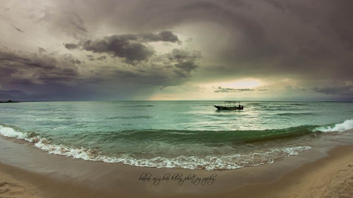
06. Lake Tanganyika
Lake Tanganyika is an African Great Lake. It is estimated to be the second largest freshwater lake in the world by volume, and the second deepest, in both cases, after only Lake Baikal in Siberia; it is also the world's longest freshwater lake. The lake is divided among four countries – Tanzania, the Democratic Republic of the Congo, Burundi, and Zambia, with Tanzania (46%) and the DRC (40%) possessing the majority of the lake. The water flows into the Congo River system and ultimately into the Atlantic Ocean.
Photo — Link

Countries with shoreline — Burundi, Tanzania,  Zambia, Democratic Republic of the Congo
Area — 32,893 km2 (12,700 sq mi)
Length — 676 km (420 mi)
Maximum depth — 1,470 m (4,820 ft)
Water volume — 18,900 km3 (4,500 cu mi)

Lake Tanganyika is an African Great Lake. It is estimated to be the second largest freshwater lake in the world by volume, and the second deepest, in both cases, after only Lake Baikal in Siberia; it is also the world's longest freshwater lake. The lake is divided among four countries – Tanzania, the Democratic Republic of the Congo, Burundi, and Zambia, with Tanzania (46%) and the DRC (40%) possessing the majority of the lake. The water flows into the Congo River system and ultimately into the Atlantic Ocean.


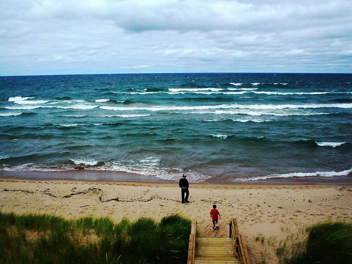
05. Lake Michigan
Lake Michigan is one of the five Great Lakes of North America and the only one located entirely within the United States. The other four Great Lakes are shared by the U.S. and Canada. It is the second largest of the Great Lakes by volume and the third largest by surface area, after Lake Superior and Lake Huron (and is slightly smaller than the U.S. state of West Virginia). To the east, its basin is conjoined with that of Lake Huron through the wide Straits of Mackinac, giving it the same surface elevation as its easterly counterpart; the two are technically a single lake. Lake Michigan is bounded, from west to east, by the U.S. states of Wisconsin, Illinois, Indiana, and Michigan. The word "Michigan" originally referred to the lake itself, and is believed to come from the Ojibwa word mishigami meaning "great water".
Photo — Link

Countries with shoreline — United States
Area — 58,000 km2 (22,000 sq mi)
Length — 494 km (307 mi)
Maximum depth — 281 m (922 ft)
Water volume — 4,900 km3 (1,200 cu mi)

Lake Michigan is one of the five Great Lakes of North America and the only one located entirely within the United States. The other four Great Lakes are shared by the U.S. and Canada. It is the second largest of the Great Lakes by volume and the third largest by surface area, after Lake Superior and Lake Huron (and is slightly smaller than the U.S. state of West Virginia). To the east, its basin is conjoined with that of Lake Huron through the wide Straits of Mackinac, giving it the same surface elevation as its easterly counterpart; the two are technically a single lake. Lake Michigan is bounded, from west to east, by the U.S. states of Wisconsin, Illinois, Indiana, and Michigan. The word "Michigan" originally referred to the lake itself, and is believed to come from the Ojibwa word mishigami meaning "great water".


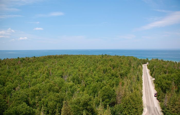
04. Lake Huron
Lake Huron (French: Lac Huron) is one of the five Great Lakes of North America. Hydrologically, it comprises the easterly portion of Lake Michigan–Huron, having the same surface elevation as its westerly counterpart, to which it is connected by the wide Straits of Mackinac. It is bounded on the east by the Canadian province of Ontario and on the west by the state of Michigan in the United States. The name of the lake is derived from early French explorers who named it for the Huron people inhabiting the region. The huronian glaciation was named due to evidence collected from Lake Huron region.
Photo — Link

Countries with shoreline — Canada, United States
Area — 59,600 km2 (23,000 sq mi)
Length — 332 km (206 mi)
Maximum depth — 229 m (751 ft)
Water volume — 3,540 km3 (850 cu mi)

Lake Huron (French: Lac Huron) is one of the five Great Lakes of North America. Hydrologically, it comprises the easterly portion of Lake Michigan–Huron, having the same surface elevation as its westerly counterpart, to which it is connected by the wide Straits of Mackinac. It is bounded on the east by the Canadian province of Ontario and on the west by the state of Michigan in the United States. The name of the lake is derived from early French explorers who named it for the Huron people inhabiting the region. The huronian glaciation was named due to evidence collected from Lake Huron region.


03. Lake Victoria
Lake Victoria is one of the African Great Lakes. The lake was named after Queen Victoria of the United Kingdom, by John Hanning Speke, the first European to discover this lake.
Photo — Link

Countries with shoreline — Uganda, Kenya, Tanzania
Area — 69,485 km2 (26,828 sq mi)
Length — 322 km (200 mi)
Maximum depth — 84 m (276 ft)
Water volume — 2,750 km3 (660 cu mi)

Lake Victoria is one of the African Great Lakes. The lake was named after Queen Victoria of the United Kingdom, by John Hanning Speke, the first European to discover this lake.

With a surface area of 68,800 square kilometres (26,600 sq mi), Lake Victoria is Africa’s largest lake by area, and it is the largest tropical lake in the world. Lake Victoria is the world's 2nd largest freshwater lake by surface area; only Lake Superior in North America is larger. In terms of its volume, Lake Victoria is the world's ninth largest continental lake, and it contains about 2,750 cubic kilometers (2.2 billion acre-feet) of water.

Lake Victoria receives its water primarily from direct precipitation and thousands of small streams. The largest stream flowing into this lake is the Kagera River, the mouth of which lies on the lake's western shore. Two rivers leave the lake, the White Nile (known as the "Victoria Nile" as it leaves the lake), flows out at Jinja, Uganda on the lake's north shore, and the Katonga River flows out at Lukaya on the western shore connecting the lake to Lake George.

Lake Victoria occupies a shallow depression in Africa and has a maximum depth of 84 m (276 ft) and an average depth of 40 m (130 ft).[3] Its catchment area covers 184,000 square kilometers (71,040 sq mi). The lake has a shoreline of 4,828 km (3,000 mi), with islands constituting 3.7% of this length, and is divided among three countries: Kenya (6% or 4,100 km2 or 1,600 sq mi), Uganda (45% or 31,000 km2 or 12,000 sq mi) and Tanzania (49% or 33,700 km2 or 13,000 sq mi).


02. Lake Superior
Lake Superior (French: Lac Supérieur) is the largest of the five traditionally demarcated Great Lakes of North America. The lake is bounded by Ontario and Minnesota to the north and west, and Wisconsin and Michigan to the south. It is generally considered the largest freshwater lake in the world by surface area. It is the world's third-largest freshwater lake by volume.
Photo — Link

Countries with shoreline — Canada, United States
Area — 82,414 km2 (31,820 sq mi)
Length — 616 km (383 mi)
Maximum depth — 406 m (1,332 ft)
Water volume — 12,100 km3 (2,900 cu mi)

Lake Superior (French: Lac Supérieur) is the largest of the five traditionally demarcated Great Lakes of North America. The lake is bounded by Ontario and Minnesota to the north and west, and Wisconsin and Michigan to the south. It is generally considered the largest freshwater lake in the world by surface area. It is the world's third-largest freshwater lake by volume.


Oceanic lakes

The Caspian Sea is often regarded as the world's largest lake, but it contains an oceanic basin (contiguous with the world ocean until 11 million years ago) rather than being entirely over continental crust

01. Caspian Sea
The Caspian Sea is the largest enclosed inland body of water on Earth by area, variously classed as the world's largest lake or a full-fledged sea. The sea has a surface area of 371,000 km2 (143,200 sq mi) (not including Garabogazköl Aylagy) and a volume of 78,200 km3 (18,800 cu mi). It is in an endorheic basin (it has no outflows) and is bounded to the northwest by Russia, to the west by Azerbaijan, to the south by Iran, to the southeast by Turkmenistan, and to the northeast by Kazakhstan.
Photo — Link

Countries with shoreline — Kazakhstan, Russia, Turkmenistan, Azerbaijan, Iran
Area — 371,000 km2 (143,000 sq mi)
Length — 1,199 km (745 mi)
Maximum depth — 1,025 m (3,363 ft)
Water volume — 78,200 km3 (18,800 cu mi)

The Caspian Sea is the largest enclosed inland body of water on Earth by area, variously classed as the world's largest lake or a full-fledged sea. The sea has a surface area of 371,000 km2 (143,200 sq mi) (not including Garabogazköl Aylagy) and a volume of 78,200 km3 (18,800 cu mi). It is in an endorheic basin (it has no outflows) and is bounded to the northwest by Russia, to the west by Azerbaijan, to the south by Iran, to the southeast by Turkmenistan, and to the northeast by Kazakhstan.

The ancient inhabitants of its coast perceived the Caspian Sea as an ocean, probably because of its saltiness and seeming boundlessness. It has a salinity of approximately 1.2%, about a third the salinity of most seawater.

Strokkur Geyser — Iceland

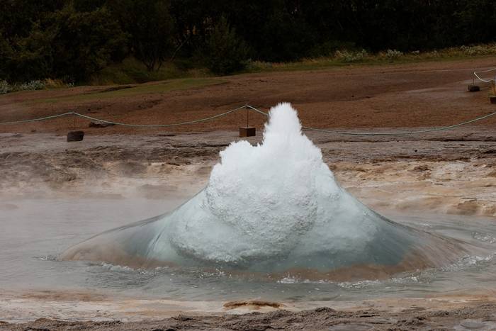
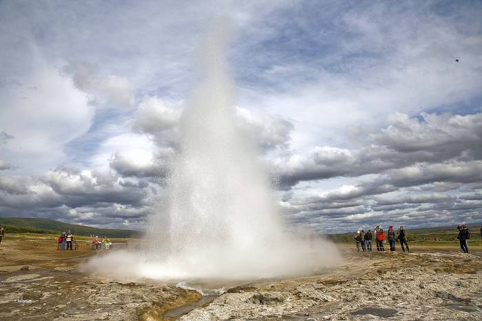
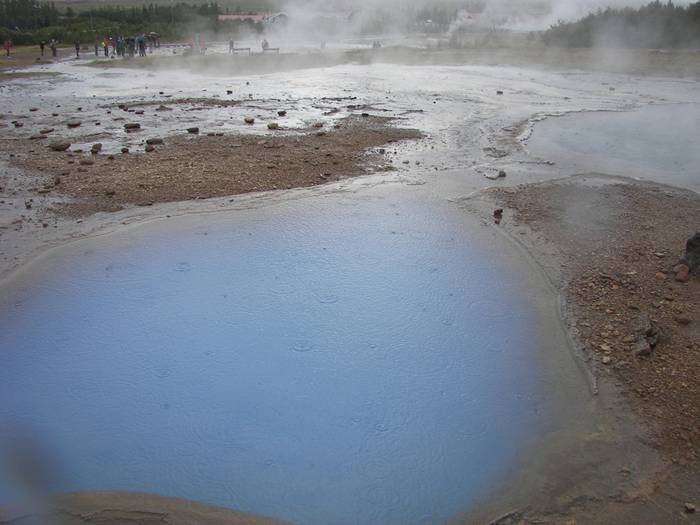
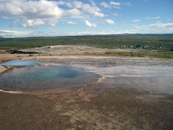
Strokkur (Icelandic for "churn") is a fountain geyser in the geothermal area beside the Hvítá River in Iceland in the southwest part of the country, east of Reykjavík. It is one of Iceland's most famous geysers, erupting about every 4–8 minutes 15 – 20 m high, sometimes up to 40 m high.
Photo — Link
Strokkur (Icelandic for "churn") is a fountain geyser in the geothermal area beside the Hvítá River in Iceland in the southwest part of the country, east of Reykjavík. It is one of Iceland's most famous geysers, erupting about every 4–8 minutes 15 – 20 m high, sometimes up to 40 m high.
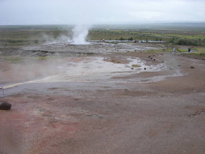
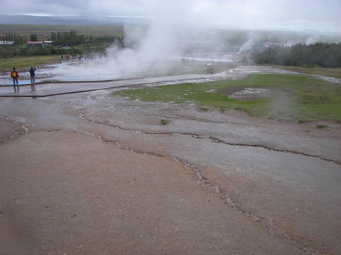
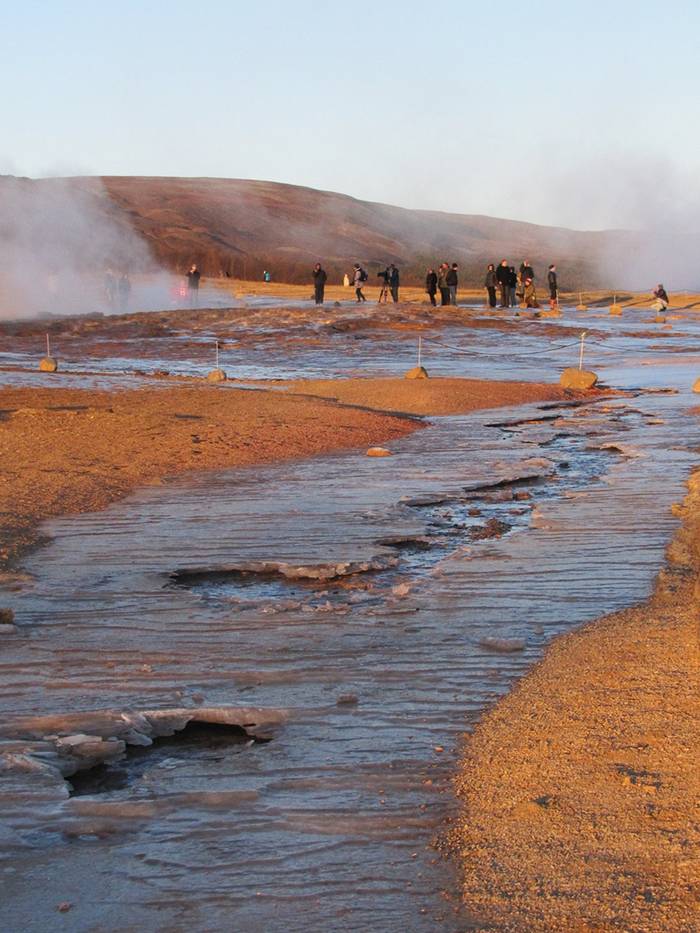
Location — Strokkur is part of Haukadalur geothermal area, where are located various other geothermal features: mud pools, fumaroles, algal deposits, and other geysers beside and around it, such as Geysir.
Strokkur (Icelandic for "churn") is a fountain geyser in the geothermal area beside the Hvítá River in Iceland in the southwest part of the country, east of Reykjavík. It is one of Iceland's most famous geysers, erupting about every 4–8 minutes 15 – 20 m high, sometimes up to 40 m high.
Photo — Link
History — Strokkur was first mentioned in 1789, after an earthquake unblocked the conduit of the geyser. Its activity fluctuated in the 19th century; in 1815 its height was estimated to be as much as 60 metres  It continued to erupt until the turn of the 20th century, when another earthquake blocked the conduit again. In 1963, upon the advice of the Geysir Committee, locals cleaned out the blocked conduit through the bottom of the basin, and the geyser has been regularly erupting ever since.

Tourism — Strokkur and its surrounding areas regularly attracts tourists to view the geyser, as it is one of very few natural geysers to erupt frequently and reliably.
Strokkur (Icelandic for "churn") is a fountain geyser in the geothermal area beside the Hvítá River in Iceland in the southwest part of the country, east of Reykjavík. It is one of Iceland's most famous geysers, erupting about every 4–8 minutes 15 – 20 m high, sometimes up to 40 m high.
Photo — Link
Strokkur (Icelandic for "churn") is a fountain geyser in the geothermal area beside the Hvítá River in Iceland in the southwest part of the country, east of Reykjavík. It is one of Iceland's most famous geysers, erupting about every 4–8 minutes 15 – 20 m high, sometimes up to 40 m high.
Photo — Link
Strokkur (Icelandic for "churn") is a fountain geyser in the geothermal area beside the Hvítá River in Iceland in the southwest part of the country, east of Reykjavík. It is one of Iceland's most famous geysers, erupting about every 4–8 minutes 15 – 20 m high, sometimes up to 40 m high.
Photo — Link
Strokkur (Icelandic for "churn") is a fountain geyser in the geothermal area beside the Hvítá River in Iceland in the southwest part of the country, east of Reykjavík. It is one of Iceland's most famous geysers, erupting about every 4–8 minutes 15 – 20 m high, sometimes up to 40 m high.
Photo — Link
Strokkur (Icelandic for "churn") is a fountain geyser in the geothermal area beside the Hvítá River in Iceland in the southwest part of the country, east of Reykjavík. It is one of Iceland's most famous geysers, erupting about every 4–8 minutes 15 – 20 m high, sometimes up to 40 m high.
Photo — Link
Strokkur (Icelandic for "churn") is a fountain geyser in the geothermal area beside the Hvítá River in Iceland in the southwest part of the country, east of Reykjavík. It is one of Iceland's most famous geysers, erupting about every 4–8 minutes 15 – 20 m high, sometimes up to 40 m high.
Photo — Link
Strokkur (Icelandic for "churn") is a fountain geyser in the geothermal area beside the Hvítá River in Iceland in the southwest part of the country, east of Reykjavík. It is one of Iceland's most famous geysers, erupting about every 4–8 minutes 15 – 20 m high, sometimes up to 40 m high.
Photo — Link
Strokkur (Icelandic for "churn") is a fountain geyser in the geothermal area beside the Hvítá River in Iceland in the southwest part of the country, east of Reykjavík. It is one of Iceland's most famous geysers, erupting about every 4–8 minutes 15 – 20 m high, sometimes up to 40 m high.
Photo — Link
Strokkur (Icelandic for "churn") is a fountain geyser in the geothermal area beside the Hvítá River in Iceland in the southwest part of the country, east of Reykjavík. It is one of Iceland's most famous geysers, erupting about every 4–8 minutes 15 – 20 m high, sometimes up to 40 m high.
Photo — Link
Strokkur (Icelandic for "churn") is a fountain geyser in the geothermal area beside the Hvítá River in Iceland in the southwest part of the country, east of Reykjavík. It is one of Iceland's most famous geysers, erupting about every 4–8 minutes 15 – 20 m high, sometimes up to 40 m high.
Photo — Link
Strokkur (Icelandic for "churn") is a fountain geyser in the geothermal area beside the Hvítá River in Iceland in the southwest part of the country, east of Reykjavík. It is one of Iceland's most famous geysers, erupting about every 4–8 minutes 15 – 20 m high, sometimes up to 40 m high.
Photo — Link
Strokkur (Icelandic for "churn") is a fountain geyser in the geothermal area beside the Hvítá River in Iceland in the southwest part of the country, east of Reykjavík. It is one of Iceland's most famous geysers, erupting about every 4–8 minutes 15 – 20 m high, sometimes up to 40 m high.
Photo — Link

Giant Heart on Earth

Mulvey Lake in Canada
Amazing Heart of Nature,
Heart-shaped pond near Halmstad City airport in Sweden
Island in Prince William in Alaska
Field in South Gloucestershire (UK), established farmer Winston Hovesom in honor of his late wife.
Sertsevidnoe lake Saxifrage Peak, Canada
Mountain Lake in Kosovo
Lake in Braunschweig, Germany
Iceberg in the form of heart
Creative planning of a residential area in San Bruno, CA
Reef on the coast of Queensland, Australia
Hawthorn Plantation in Wiltshire, England
Heart Lake in Olympic National Park, Washington, USA
Forest around Kansas City, USA
The Island on Lake Gutierrez, Patagonia, Argentina
Rock formations at the bottom in Abel Tasman, New Zealand
Natural formation of a mangrove forest in New Caledonia
Frozen mountain lake in the Austrian Alps
Lake Salina in Brazil
Zhuo Yong Cuo lake in Tibet
Gaislacher See, Austria
Tavarua Island Resort, Fiji
Central Asia from space
Pond in the Columbia Hills Corners, Ohio, USA
Forest island on the river Orinoco, Venezuela
Private island in Noosa River in Queensland, Australia
Carolina Bay site on a digital map of the relief
Island near Bali, Indonesia
Lake on the way to the peak of Chembra, Kerala, India
Minnehaha Falls. Minneapolis, MN, USA
Glodosy cloud over the village in the Ukraine
Galesnjak island in Croatia
Pond on nudist recreation center in Lake Village, Indiana
Lake on the island of Hokkaido, Japan
Walchensee, Germany
Walchensee, Germany
Three Creeks Lake, Oregon
Bloody Lake in Cachoerao, Brazil
Rathlin Island, Ireland
The original pool in the vicinity of Brussels
Finally, a bit of space. Heart and Soul Nebula
Universe.
Via — Link
 
Support : Venus Net | Pagak City
Copyright © 2013. Naughty french - All Rights Reserved
Template Created by Together Published by Venus Net
Proudly powered by Blogger