Recent Gallery


Metropol Parasol — World's Largest Wooden Structure

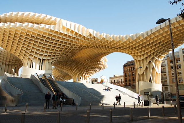
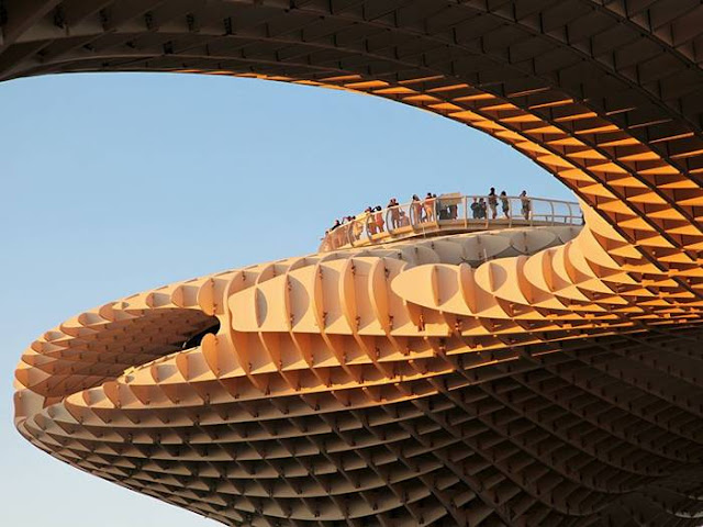
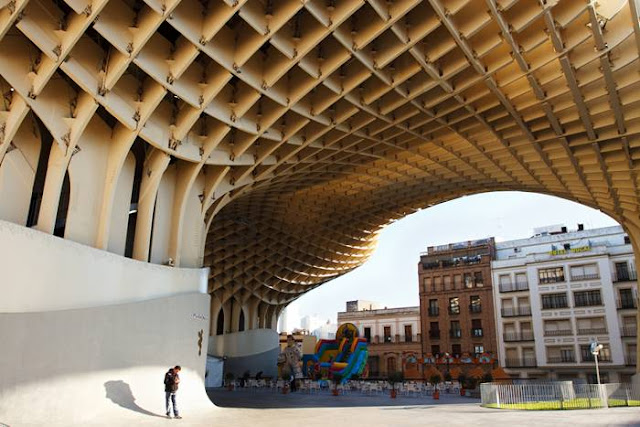
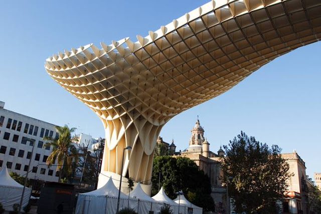
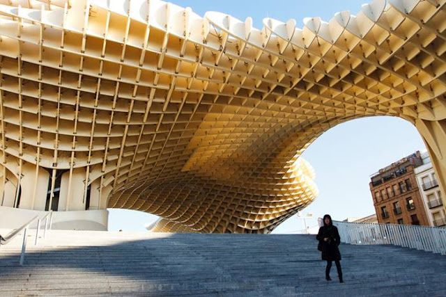
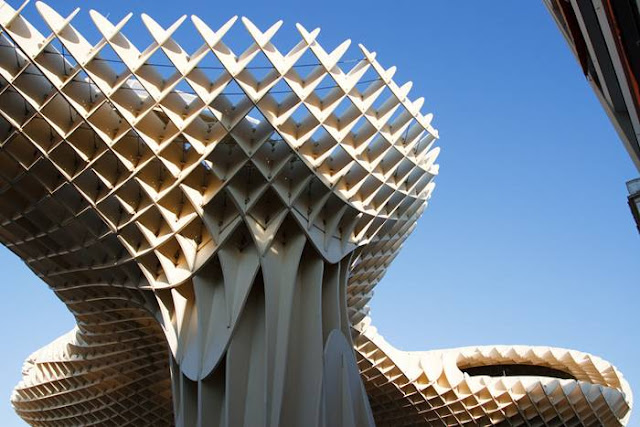
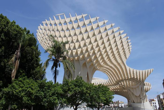
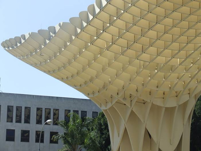
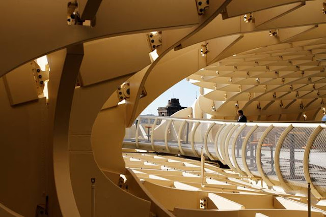
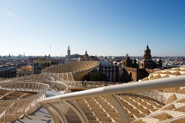
Metropol Parasol is a wooden structure located at La Encarnación square, in the old quarter of Seville, Spain. Designed by German architect Jürgen Mayer-Hermann, the structure resembles a grove of prefabricated wooden trees soaring 26 meters into the air. It has dimensions of 150 by 70 metres and claims to be the largest wooden structure in the world.
Metropol Parasol is a wooden structure located at La Encarnación square, in the old quarter of Seville, Spain. Designed by German architect Jürgen Mayer-Hermann, the structure resembles a grove of prefabricated wooden trees soaring 26 meters into the air. It has dimensions of 150 by 70 metres and claims to be the largest wooden structure in the world. The building is popularly known as Las Setas de la Encarnación (Incarnación's mushrooms). The Metropol Parasol actually is a device for revitalising the Plaza de la Encarnación, which was used as a parking lot for years and seen as a dead spot between more popular tourist destinations in the city. 

The structure consists of six parasols in the form of giant mushrooms, whose design is inspired by the vaults of the Cathedral of Seville and the ficus trees in nearby Plaza de Cristo de Burgos. The Parasol contains a market, shops, and a podium for concerts and events. In the basement is an Antiquarium, where Roman and Moorish remains discovered on-site are displayed in a museum. On the roof there is an open-air public plaza, shaded by the wooden parasols above and designed for public events. There are panoramic terraces, including a restaurant, offering one of the best views of the city centre. 
 Metropol Parasol is a wooden structure located at La Encarnación square, in the old quarter of Seville, Spain. Designed by German architect Jürgen Mayer-Hermann, the structure resembles a grove of prefabricated wooden trees soaring 26 meters into the air. It has dimensions of 150 by 70 metres and claims to be the largest wooden structure in the world.
Metropol Parasol is a wooden structure located at La Encarnación square, in the old quarter of Seville, Spain. Designed by German architect Jürgen Mayer-Hermann, the structure resembles a grove of prefabricated wooden trees soaring 26 meters into the air. It has dimensions of 150 by 70 metres and claims to be the largest wooden structure in the world. Metropol Parasol is a wooden structure located at La Encarnación square, in the old quarter of Seville, Spain. Designed by German architect Jürgen Mayer-Hermann, the structure resembles a grove of prefabricated wooden trees soaring 26 meters into the air. It has dimensions of 150 by 70 metres and claims to be the largest wooden structure in the world. Metropol Parasol is a wooden structure located at La Encarnación square, in the old quarter of Seville, Spain. Designed by German architect Jürgen Mayer-Hermann, the structure resembles a grove of prefabricated wooden trees soaring 26 meters into the air. It has dimensions of 150 by 70 metres and claims to be the largest wooden structure in the world. Metropol Parasol is a wooden structure located at La Encarnación square, in the old quarter of Seville, Spain. Designed by German architect Jürgen Mayer-Hermann, the structure resembles a grove of prefabricated wooden trees soaring 26 meters into the air. It has dimensions of 150 by 70 metres and claims to be the largest wooden structure in the world. Metropol Parasol is a wooden structure located at La Encarnación square, in the old quarter of Seville, Spain. Designed by German architect Jürgen Mayer-Hermann, the structure resembles a grove of prefabricated wooden trees soaring 26 meters into the air. It has dimensions of 150 by 70 metres and claims to be the largest wooden structure in the world. Metropol Parasol is a wooden structure located at La Encarnación square, in the old quarter of Seville, Spain. Designed by German architect Jürgen Mayer-Hermann, the structure resembles a grove of prefabricated wooden trees soaring 26 meters into the air. It has dimensions of 150 by 70 metres and claims to be the largest wooden structure in the world. Metropol Parasol is a wooden structure located at La Encarnación square, in the old quarter of Seville, Spain. Designed by German architect Jürgen Mayer-Hermann, the structure resembles a grove of prefabricated wooden trees soaring 26 meters into the air. It has dimensions of 150 by 70 metres and claims to be the largest wooden structure in the world. Metropol Parasol is a wooden structure located at La Encarnación square, in the old quarter of Seville, Spain. Designed by German architect Jürgen Mayer-Hermann, the structure resembles a grove of prefabricated wooden trees soaring 26 meters into the air. It has dimensions of 150 by 70 metres and claims to be the largest wooden structure in the world.

Aqueduct of Segovia

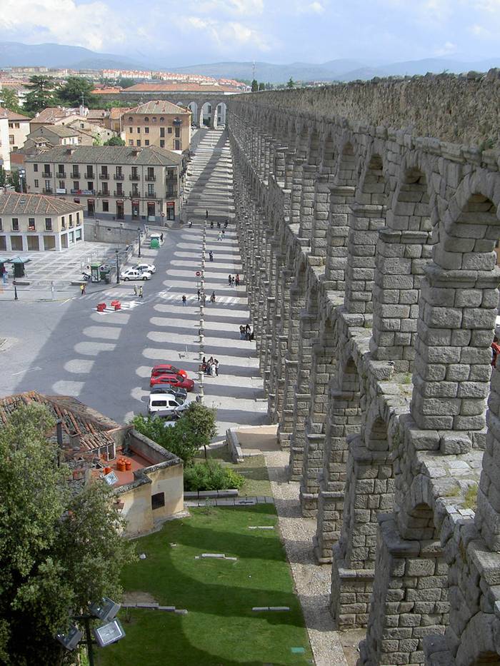
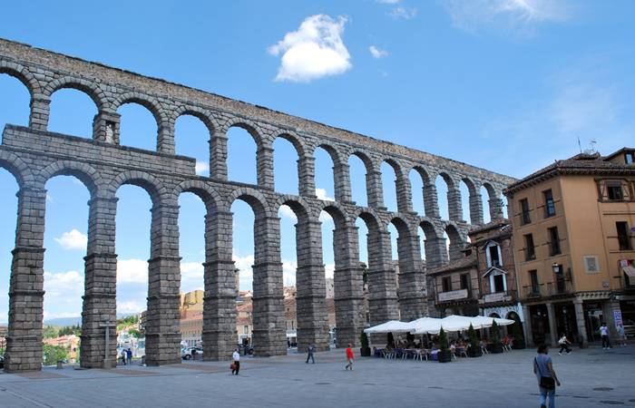
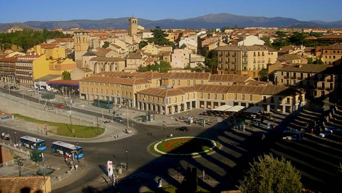
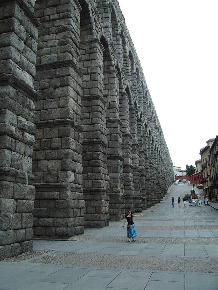
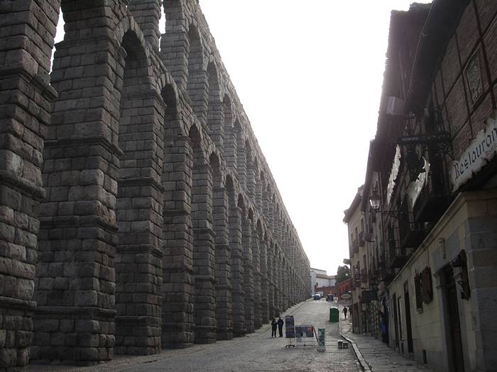
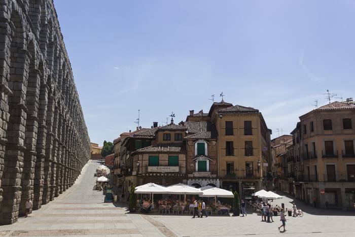
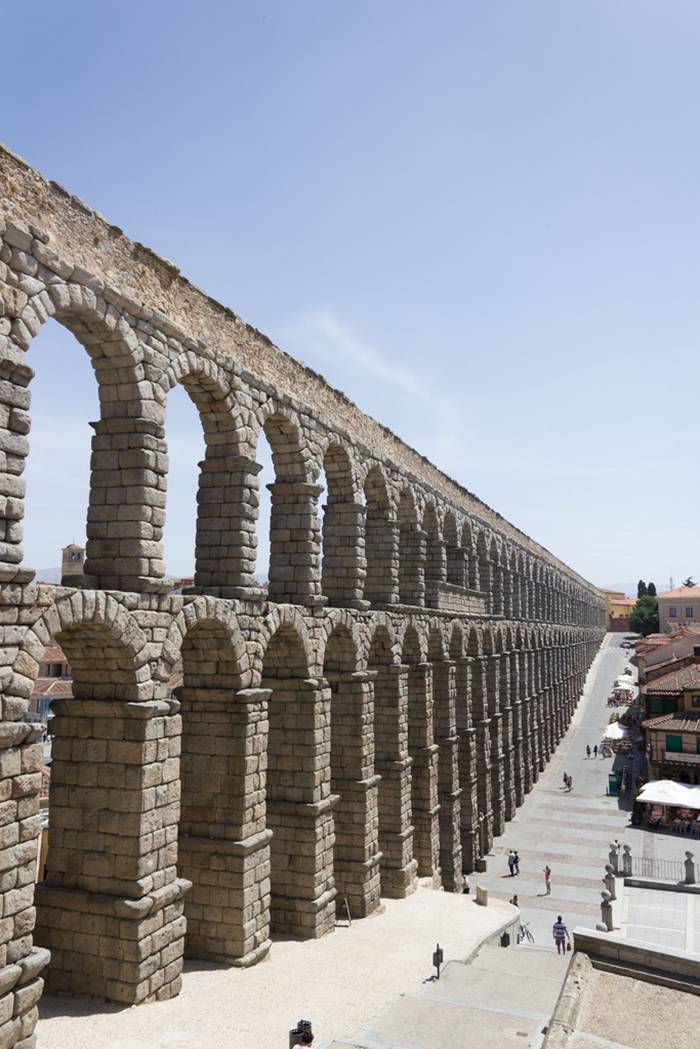
The Aqueduct of Segovia is a Roman aqueduct and one of the most significant and best-preserved ancient monuments left on the Iberian Peninsula. It is located in Spain and is the foremost symbol of Segovia, as evidenced by its presence on the city's coat of arms.
History — As the aqueduct lacks a legible inscription (one was apparently located in the structure's attic, or top portion), the date of construction cannot be definitively determined. Researchers have placed it between the second half of the 1st Century AD and the early years of the 2nd Century—during the reign of either Emperor Vespasian or Nerva. The beginnings of Segovia itself are likewise not definitively known. The people called Vaccaei are known to have populated the place or area before the Romans conquered the city. Roman troops sent to control the area stayed behind to settle there. The area fell within the jurisdiction of the Roman provincial court (Latin conventus iuridici, Spanish convento jurídico) located in Clunia.
The Aqueduct of Segovia is a Roman aqueduct and one of the most significant and best-preserved ancient monuments left on the Iberian Peninsula. It is located in Spain and is the foremost symbol of Segovia, as evidenced by its presence on the city's coat of arms.
Photo — Link
Description — The aqueduct transports waters from Fuente Fría river, situated in the nearby mountains, some 17 km (11 mi) from the city in a region known as La Acebeda. It runs another 15 km (9.3 mi) before arriving in the city.
The water is first gathered in a tank known as El Caserón (or Big House), and is then led through a channel to a second tower known as the Casa de Aguas (or Waterhouse). There it is naturally decanted and sand settles out before the water continues its route. Next the water travels 728 m (796 yd) on a one-percent grade until it is high upon the Postigo, a rocky outcropping on which the old city center, the Segovia Alcázar, was built. Then, at Plaza de Díaz Sanz (Díaz Sanz Square), the structure makes an abrupt turn and heads toward Plaza Azoguejo (Azoguejo Square). It is there the monument begins to display its full splendor. At its tallest, the aqueduct reaches a height of 28.5 m (93 ft 6 in), including nearly 6 m (19 ft 8 in) of foundation. There are both single and double arches supported by pillars. From the point the aqueduct enters the city until it reaches Plaza de Díaz Sanz, it includes 75 single arches and 44 double arches (or 88 arches when counted individually), followed by four single arches, totalling 166 arches in all. 
The Aqueduct of Segovia is a Roman aqueduct and one of the most significant and best-preserved ancient monuments left on the Iberian Peninsula. It is located in Spain and is the foremost symbol of Segovia, as evidenced by its presence on the city's coat of arms.
Photo — Link
The construction of the aqueduct follows the principles laid out by Vitruvius as he describes in his De Architectura published in the mid-first century.
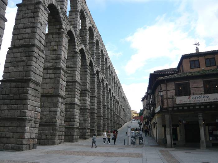
Construction — The first section of the aqueduct contains 36 semi-circular arches, rebuilt in the 15th century to restore a portion destroyed by the Moors in 1072. The line of arches is organized in two levels, decorated simply, in which predominantly simple moulds hold the frame and provide support to the structure. On the upper level, the arches have a total width of 5.1 meters (16.1 ft). Built in two levels, the top pillars are both shorter and narrower than those on the lower level. The top of the structure contains the channel through which water travels, through a U-shaped hollow measuring 0.55 by 0.46 in circumference size. The top of each pillar has a cross-section measuring 1.8 by 2.5 meters (5.9 by 8.2 feet), while the base cross-section measures approximately 2.4 by 3 meters (7.9 by 9.8 feet).
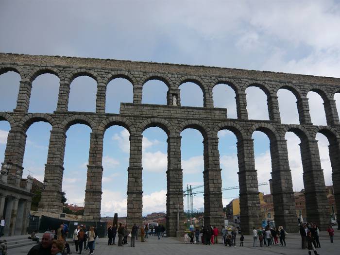
Principal facade of the Aqueduct of Segovia. The aqueduct is built of unmortared, brick-like granite blocks. During the Roman era, each of the three tallest arches displayed a sign in bronze letters, indicating the name of its builder along with the date of construction. Today, two niches are still visible, one on each side of the aqueduct. One of them is known to have held the image of Hercules, who according to legend was founder of the city. The other niche now contains the images of the Virgen de la Fuencisla (the Patroness of Segovia) and Saint Stephen.
The Aqueduct of Segovia is a Roman aqueduct and one of the most significant and best-preserved ancient monuments left on the Iberian Peninsula. It is located in Spain and is the foremost symbol of Segovia, as evidenced by its presence on the city's coat of arms.Photo — Link
The Aqueduct of Segovia is a Roman aqueduct and one of the most significant and best-preserved ancient monuments left on the Iberian Peninsula. It is located in Spain and is the foremost symbol of Segovia, as evidenced by its presence on the city's coat of arms.
Photo — Link
The Aqueduct of Segovia is a Roman aqueduct and one of the most significant and best-preserved ancient monuments left on the Iberian Peninsula. It is located in Spain and is the foremost symbol of Segovia, as evidenced by its presence on the city's coat of arms.
Photo — Link
The Aqueduct of Segovia is a Roman aqueduct and one of the most significant and best-preserved ancient monuments left on the Iberian Peninsula. It is located in Spain and is the foremost symbol of Segovia, as evidenced by its presence on the city's coat of arms.
Photo — Link
The Aqueduct of Segovia is a Roman aqueduct and one of the most significant and best-preserved ancient monuments left on the Iberian Peninsula. It is located in Spain and is the foremost symbol of Segovia, as evidenced by its presence on the city's coat of arms.
Photo — Link
The Aqueduct of Segovia is a Roman aqueduct and one of the most significant and best-preserved ancient monuments left on the Iberian Peninsula. It is located in Spain and is the foremost symbol of Segovia, as evidenced by its presence on the city's coat of arms.
Photo — Link
The Aqueduct of Segovia is a Roman aqueduct and one of the most significant and best-preserved ancient monuments left on the Iberian Peninsula. It is located in Spain and is the foremost symbol of Segovia, as evidenced by its presence on the city's coat of arms.
Photo — Link
The Aqueduct of Segovia is a Roman aqueduct and one of the most significant and best-preserved ancient monuments left on the Iberian Peninsula. It is located in Spain and is the foremost symbol of Segovia, as evidenced by its presence on the city's coat of arms.
Photo — Link
The Aqueduct of Segovia is a Roman aqueduct and one of the most significant and best-preserved ancient monuments left on the Iberian Peninsula. It is located in Spain and is the foremost symbol of Segovia, as evidenced by its presence on the city's coat of arms.
Photo — Link
The Aqueduct of Segovia is a Roman aqueduct and one of the most significant and best-preserved ancient monuments left on the Iberian Peninsula. It is located in Spain and is the foremost symbol of Segovia, as evidenced by its presence on the city's coat of arms.
Photo — Link
The Aqueduct of Segovia is a Roman aqueduct and one of the most significant and best-preserved ancient monuments left on the Iberian Peninsula. It is located in Spain and is the foremost symbol of Segovia, as evidenced by its presence on the city's coat of arms.
Photo — Link
The Aqueduct of Segovia is a Roman aqueduct and one of the most significant and best-preserved ancient monuments left on the Iberian Peninsula. It is located in Spain and is the foremost symbol of Segovia, as evidenced by its presence on the city's coat of arms.
Photo — Link
The Aqueduct of Segovia is a Roman aqueduct and one of the most significant and best-preserved ancient monuments left on the Iberian Peninsula. It is located in Spain and is the foremost symbol of Segovia, as evidenced by its presence on the city's coat of arms.
Photo — Link
Via — Link
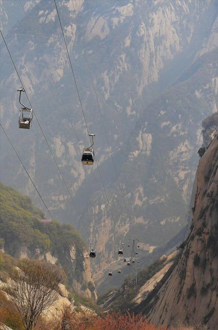
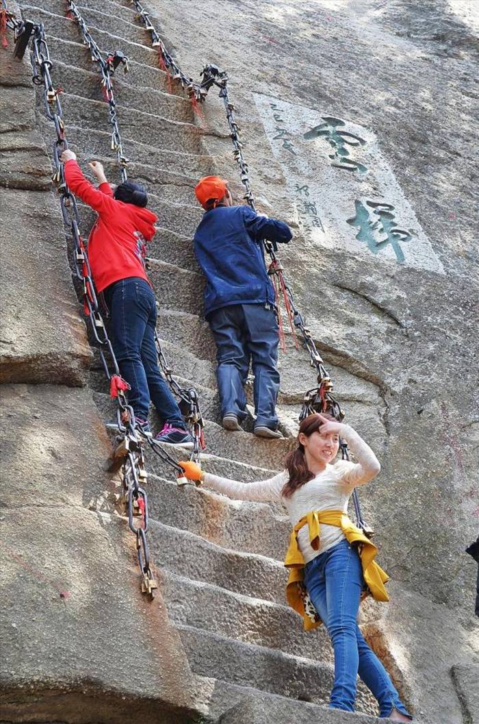
Huashan - The Most Dangerous Mountain Route in China

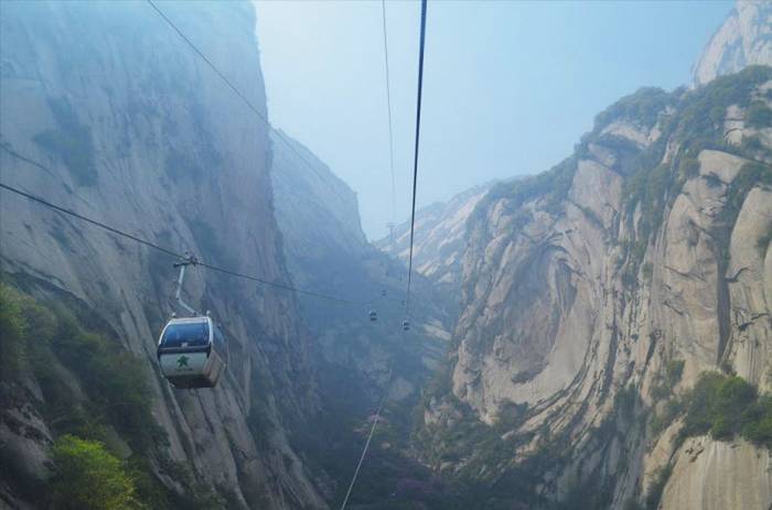
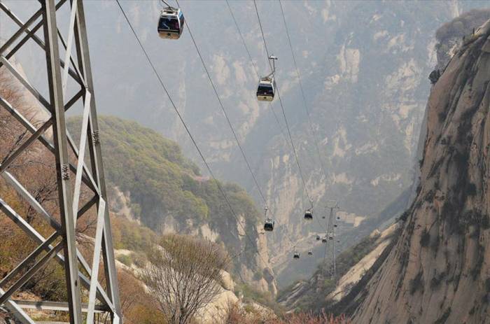
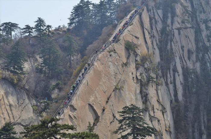
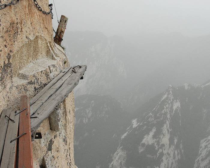
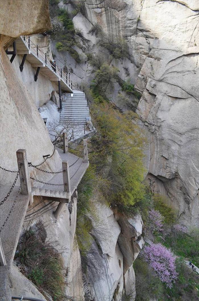
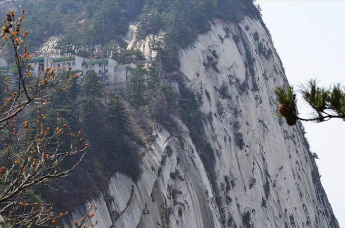
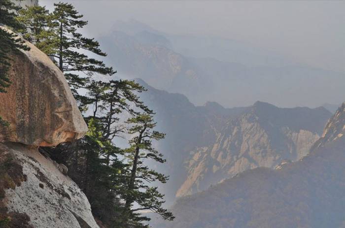
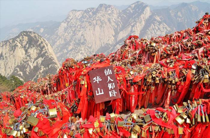
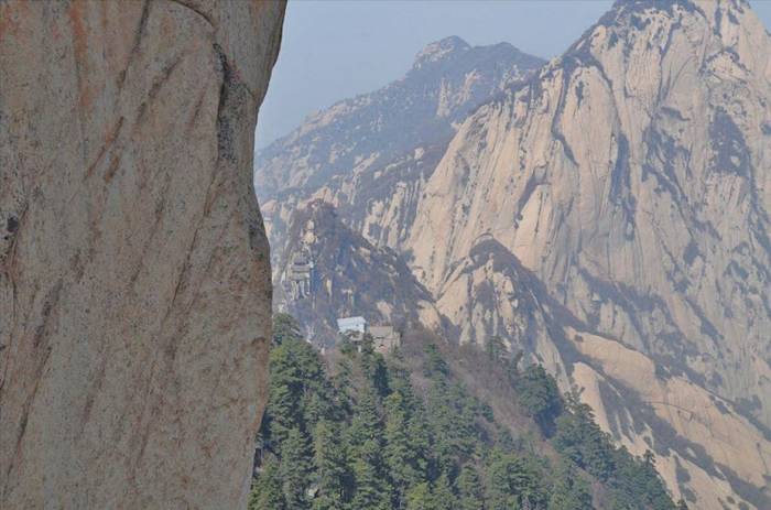
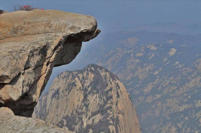
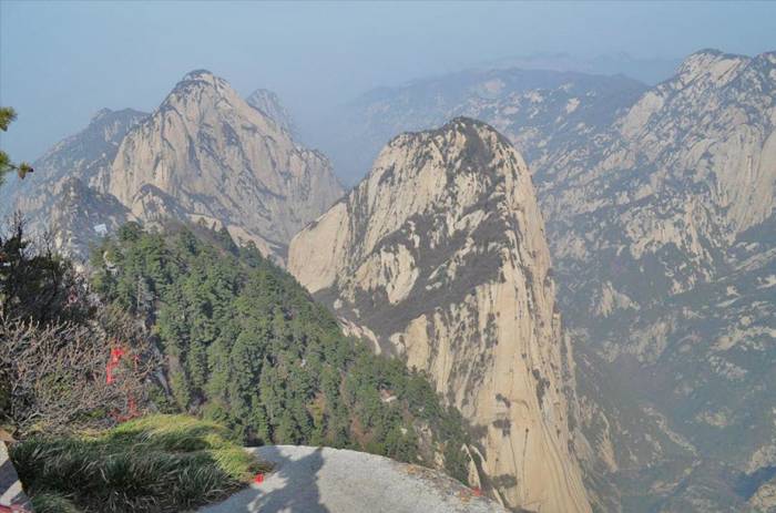
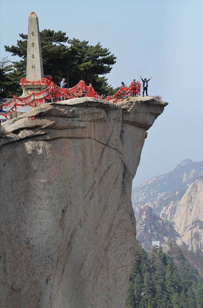
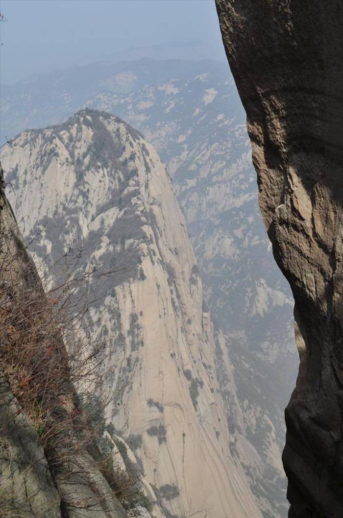
Mount Hua, or Hua Shan is a mountain located near the city of Huayin in Shaanxi province, about 120 kilometres (75 mi) east of Xi'an. It is one of China's Five Great Mountains, and has a long history of religious significance. Originally classified as having three peaks, in modern times the mountain is classified as five main peaks, of which the highest is the South Peak at 2,154.9 metres (7,070 ft).
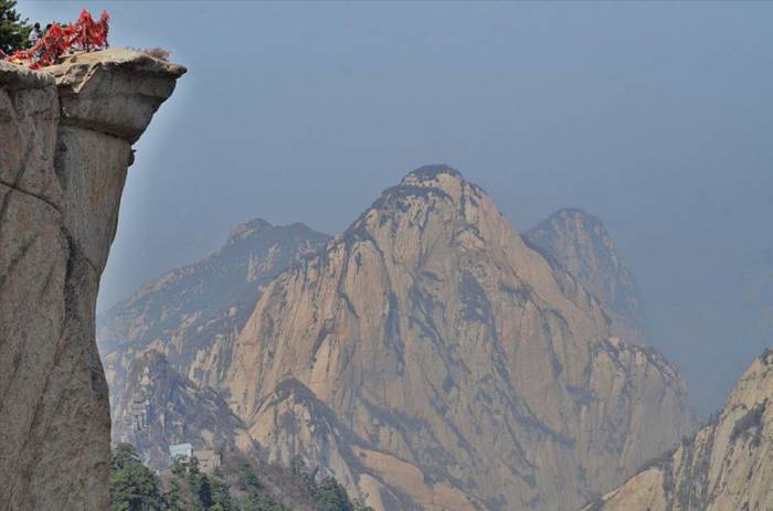
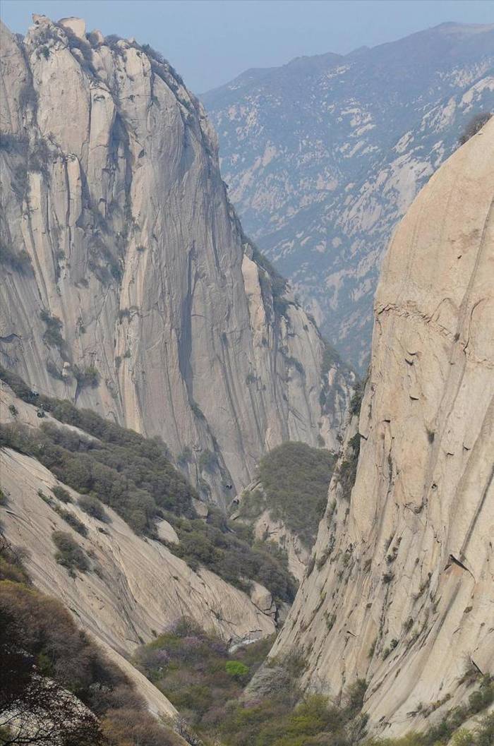
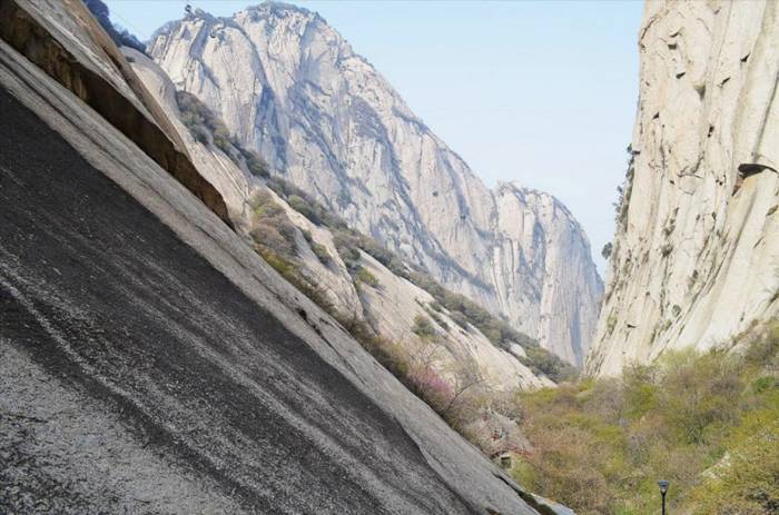
Mount Hua is located near the southeast corner of the Ordos Loop section of the Yellow River basin, south of the Wei River valley, at the eastern end of the Qin Mountains, in southern Shaanxi province. It is part of the Qin Ling Mountain Range that divides not only northern and southern Shaanxi, but also China.
Mount Hua Shan is located near the southeast corner of the Ordos Loop section of the Yellow River basin, south of the Wei River valley, at the eastern end of the Qin Mountains, in southern Shaanxi province. It is part of the Qin Ling Mountain Range that divides not only northern and southern Shaanxi, but also China.
Mount Hua, or Hua Shan is a mountain located near the city of Huayin in Shaanxi province, about 120 kilometres (75 mi) east of Xi'an. It is one of China's Five Great Mountains, and has a long history of religious significance. Originally classified as having three peaks, in modern times the mountain is classified as five main peaks, of which the highest is the South Peak at 2,154.9 metres (7,070 ft).
As early as the 2nd century BCE, there was a Daoist temple known as the Shrine of the Western Peak located at its base. Daoists believed that in the mountain lives the god of the underworld. The temple at the foot of the mountain was often used for spirits mediums to contact the god and his underlings. Unlike Taishan, which became a popular place of pilgrimage, because of its inaccessibility to the summit, Huashan only received Imperial and local pilgrims, and was not well visited by pilgrims from the rest of China. Huashan was also an important place for immortality seekers, as many herbal Chinese medicines are grown and powerful drugs were reputed to be found there. Kou Qianzhi (365–448), the founder of the Northern Celestial Masters received revelations there, as did Chen Tuan (920–989), who spent the last part of his life in hermitage on the west peak. In the 1230s, all the temples on the mountain came under control of the Daoist Quanzhen School. In 1998, the management committee of Huashan agreed to turn over most of the mountain's temples to the China Daoist Association. This was done to help protect the environment, as the presence of taoists and nuns deters poachers and loggers. .
Mount Hua Shan is located near the southeast corner of the Ordos Loop section of the Yellow River basin, south of the Wei River valley, at the eastern end of the Qin Mountains, in southern Shaanxi province. It is part of the Qin Ling Mountain Range that divides not only northern and southern Shaanxi, but also China.
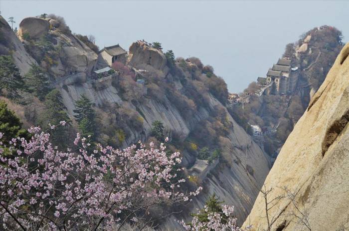
Temples  — Huashan has a variety of temples and other religious structures on its slopes and peaks. At the foot of the mountain is the Cloister of the Jade Spring , which is dedicated to Chen Tuan.
Mount Hua Shan is located near the southeast corner of the Ordos Loop section of the Yellow River basin, south of the Wei River valley, at the eastern end of the Qin Mountains, in southern Shaanxi province. It is part of the Qin Ling Mountain Range that divides not only northern and southern Shaanxi, but also China.
 
Support : Venus Net | Pagak City
Copyright © 2013. Naughty french - All Rights Reserved
Template Created by Together Published by Venus Net
Proudly powered by Blogger